Inland Scenic Route From Rakaia River to Lake Tekapo
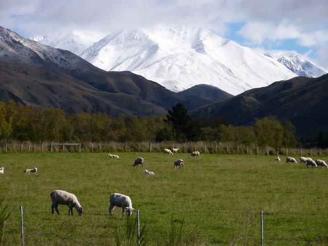
A major earthquake on September 4, 2010 revealed a previously unknown geological fault beneath the Canterbury Plains. Apparently it created a surface rift that offset features by as much as four meters in places but it all looks particularly peaceful now and the sheep are unfazed by it all. The plains are a patchwork of farms with high hedges trimmed to perfection lining the fields. Select the photos below to see the view of the Canterbury Plains from the air.
Previous | Album | Next